
2010 Photo Gallery
All Photos Copyright © 2010 Henning Umland
This was not exactly a nature trip since my wife and I were accompanied by people who were interested to see
some of the most famous places of the Southwest including Las Vegas (I abhor this place), San Francisco, and the Pacific coast. Therefore a few photos show
sceneries and objects familiar from calendars and posters. The RAW image files supplied by the camera (Nikon D200) were processed with RawTherapee 2.41 and
The Gimp 2.6.
RawTherapee was used to adjust brightness, contrast, saturation, color temperature, and sharpness, and to convert the RAW files to the PNG format. Afterwards
The Gimp was used to remove unwanted objects (dust speckles, vapor trails, wires, cars), correct perspective distortion, and convert the PNG files to the JPG
format. Both open-source programs proved to be extremely useful.
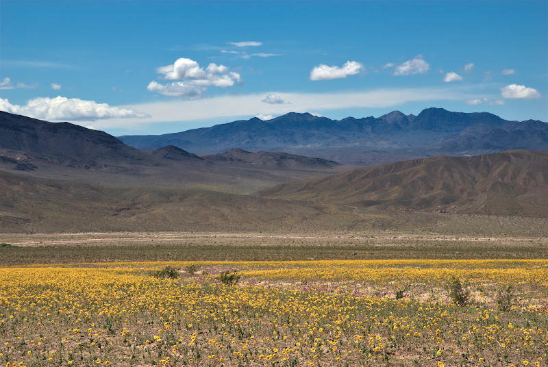 |
Blooming Desert, Death Valley NP, California
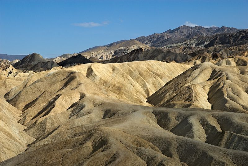 |
Eroded Hills, Zabriskie Point, Death Valley NP, California
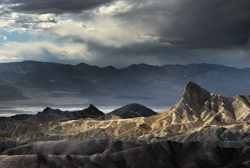 |
Manly Beacon, Zabriskie Point, Death Valley NP, California
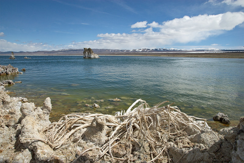 |
Mono Lake, California
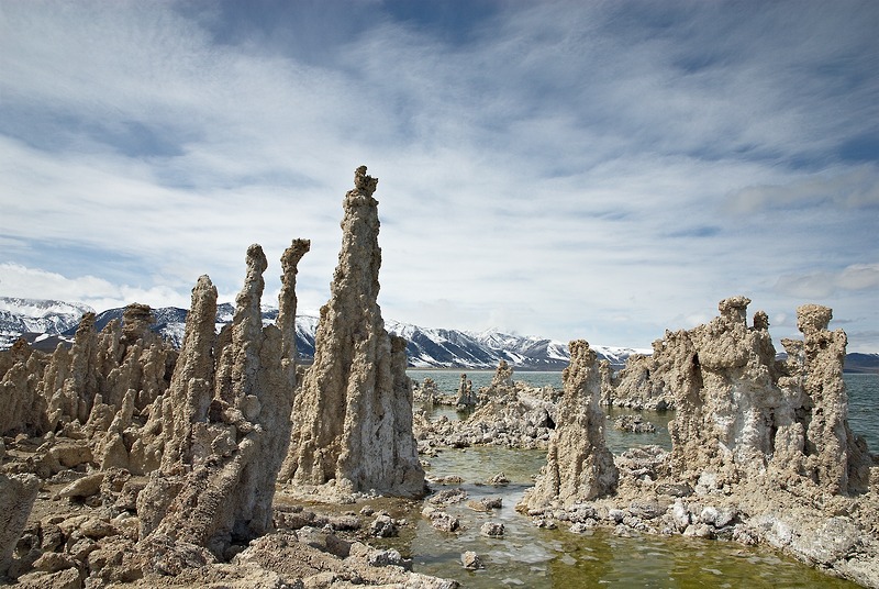 |
Tufa Columns, Mono Lake, California
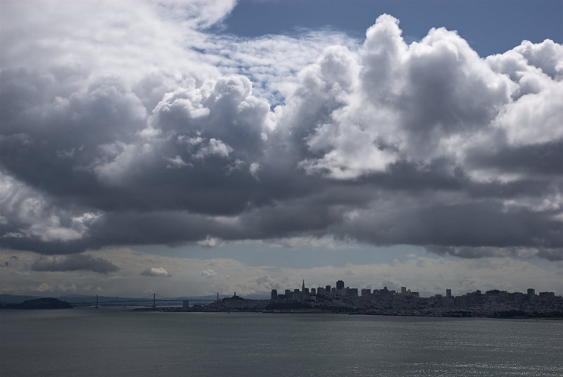 |
Clouds, San Francisco Bay, California
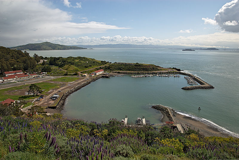 |
Horseshoe Bay & Fort Baker, Marin County, California
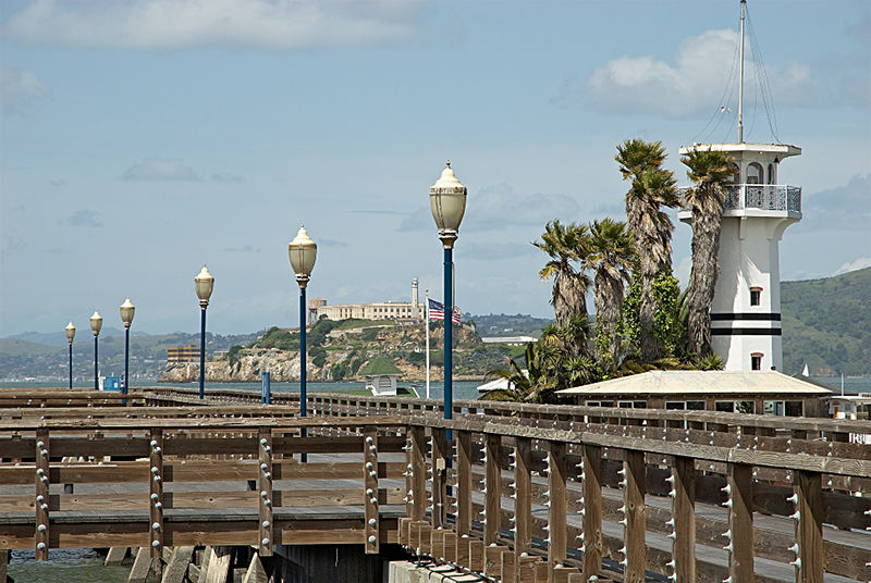 |
Pier 41, Forbes Island, Alcatraz, San Francisco, California
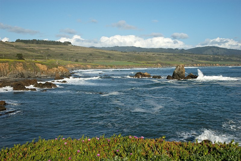 |
Pacific Coast from Pigeon Point, California
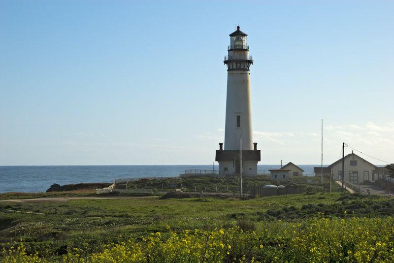 |
Pigeon Point Lighthouse, Pacific Coast, California
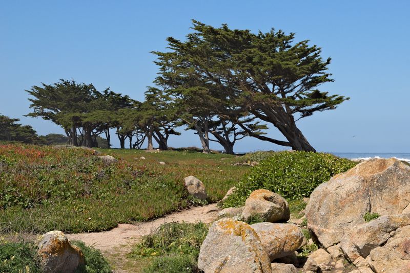 |
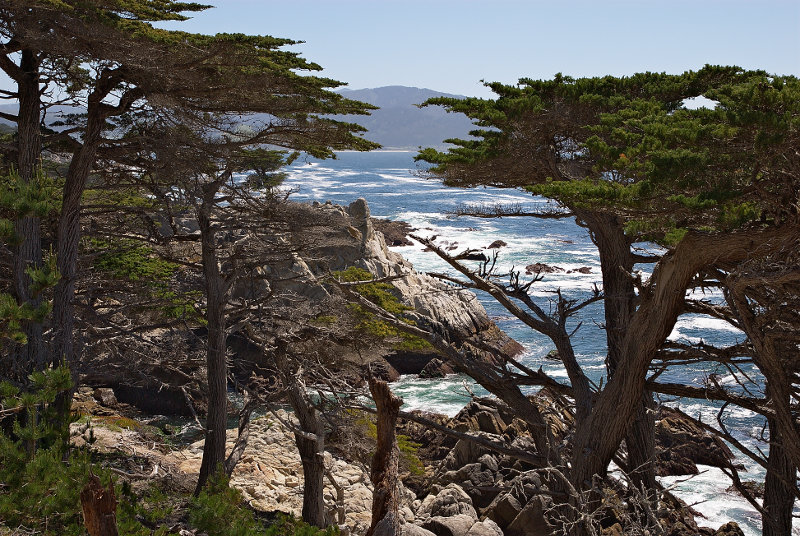
Trees, Pacific Grove, California
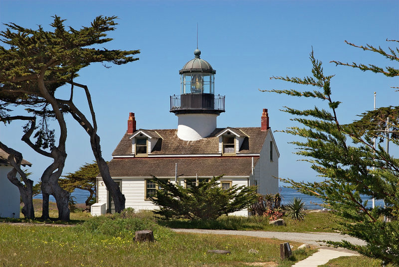 |
Point Piños Lighthouse, Pacific Grove, California
 |
Pebble Beach, 17 Mile Drive, Pacific Grove, California
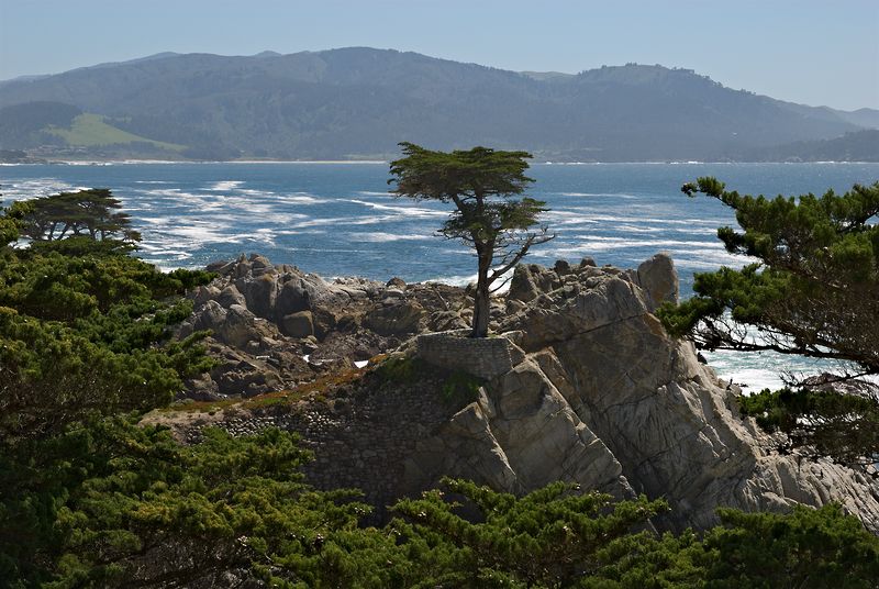 |
Lone Cypress, Pebble Beach, 17 Mile Drive, Pacific Grove, California
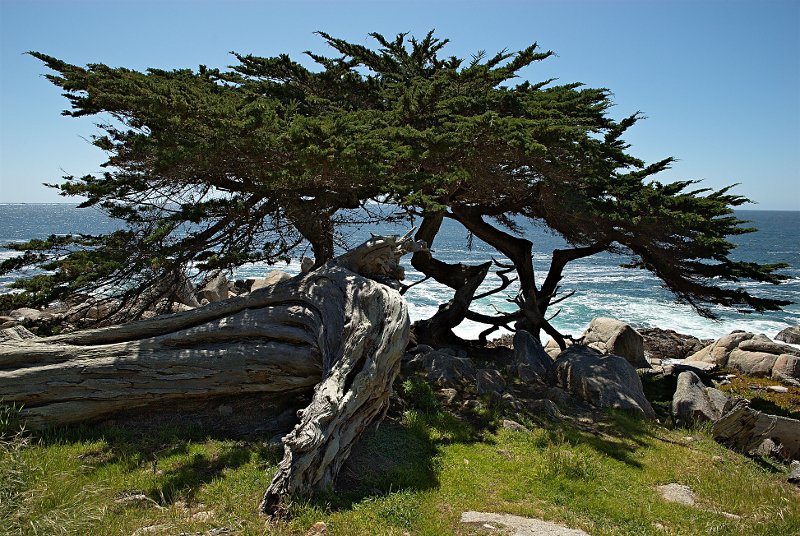 |
Cypresses, Pescadero Point, 17 Mile Drive, Pacific Grove, California
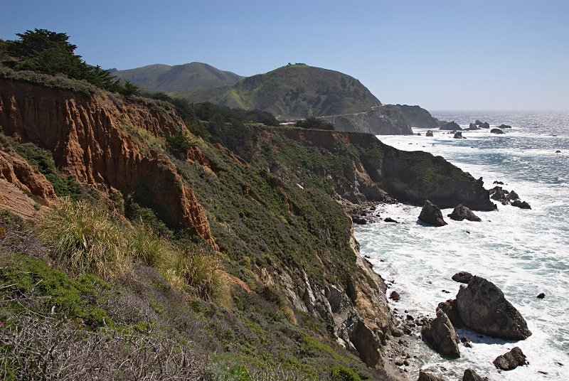 |
Pacific Coast near Big Sur, California
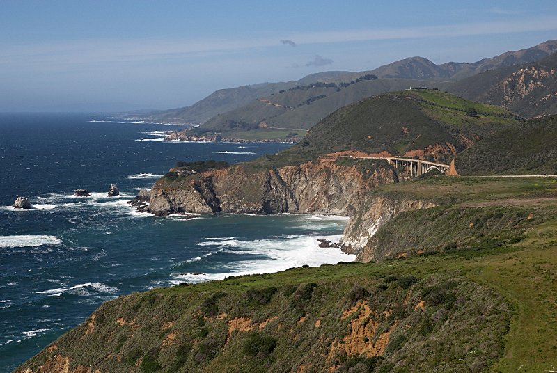 |
Pacific Coast with Bixby Creek Bridge, Big Sur, California
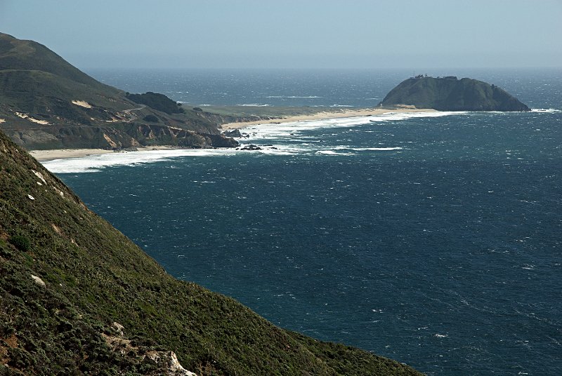 |
Point Sur, Pacific Coast, California
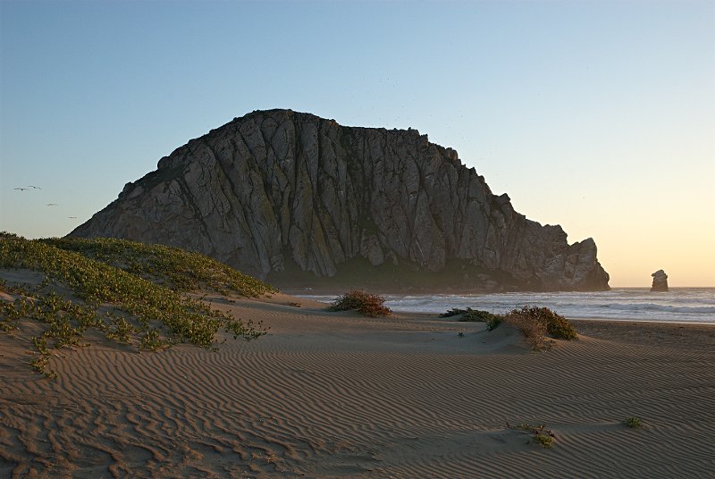 |
Morro Rock, Morro Bay, California
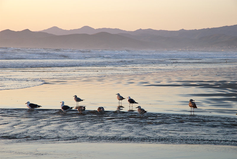 |
Seagulls at Sunset, Morro Bay, California
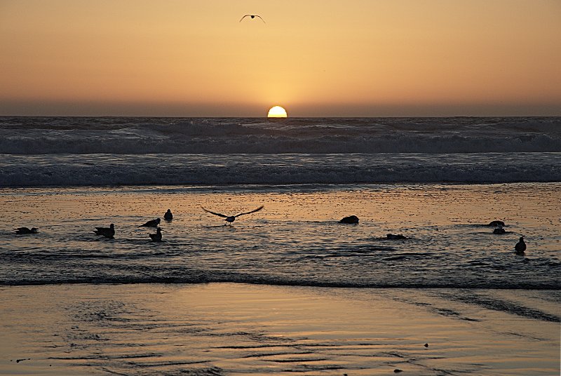 |
Sunset, Morro Bay, California
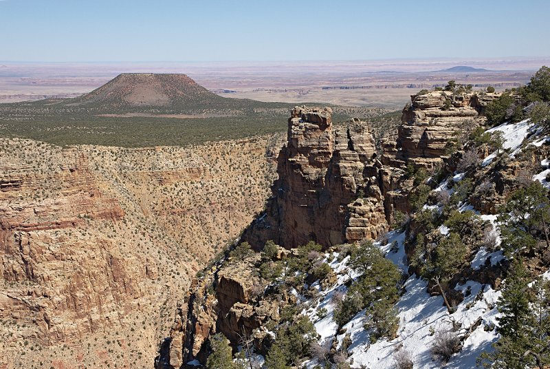 |
Grand Canyon, Arizona
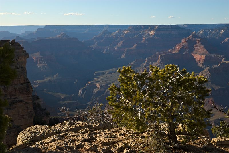 |
Grand Canyon, Arizona
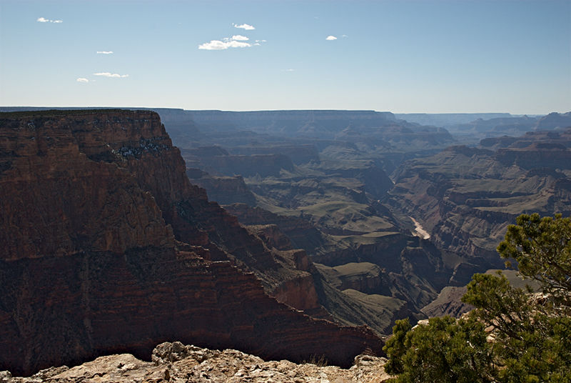 |
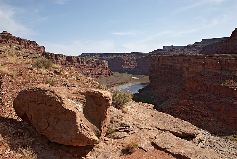
Colorado River, Grand Canyon, Arizona
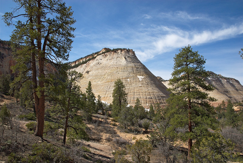 |
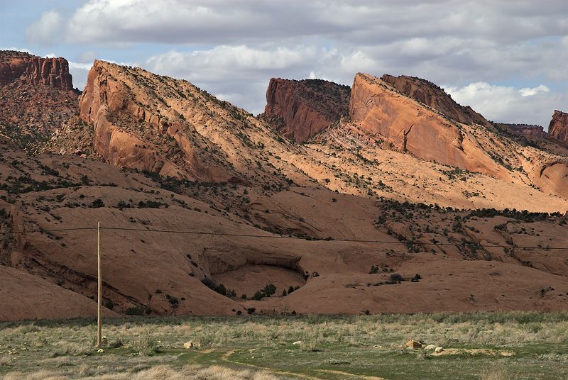
Checkerboard Mesa, Zion NP, Utah
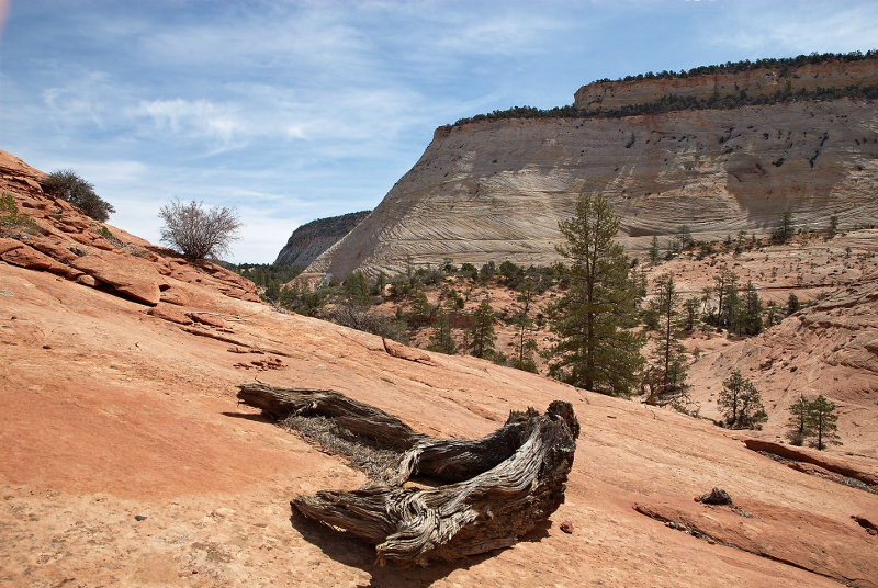 |
Dead Wood, Checkerboard Mesa, Zion NP, Utah
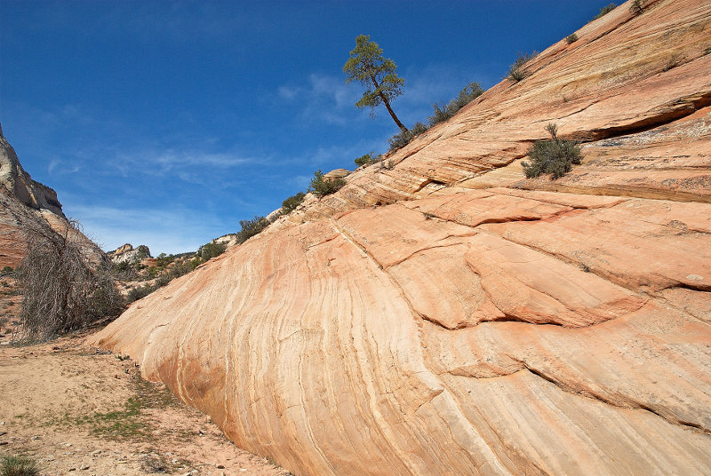 |
Rock with Tree, Zion NP, Utah
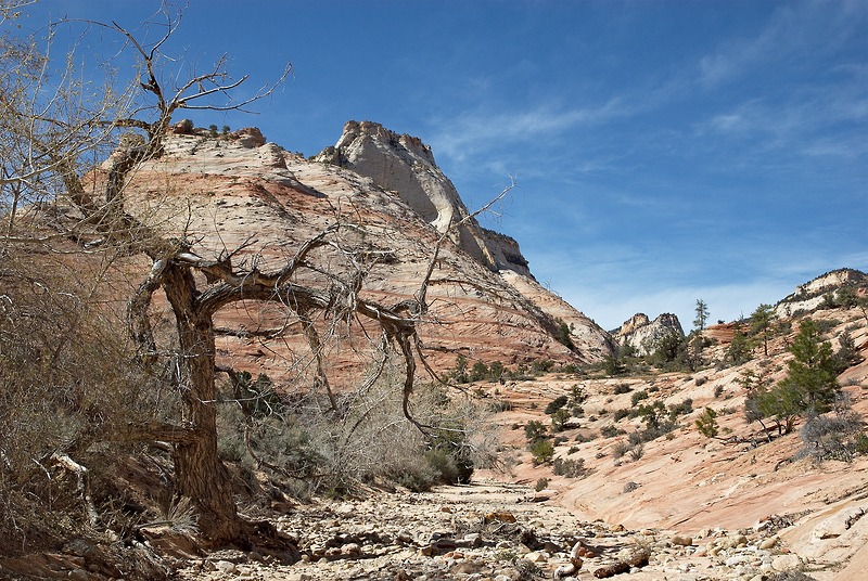 |
Wash, Zion NP, Utah
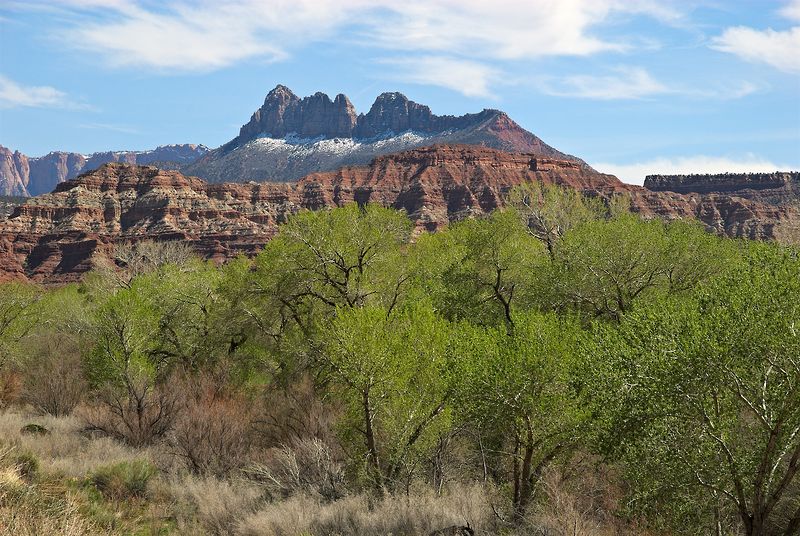 |
Vicinity of Zion NP, Utah
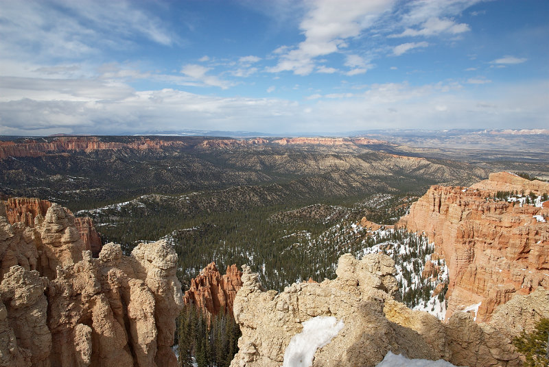 |
Bryce Canyon NP, Utah
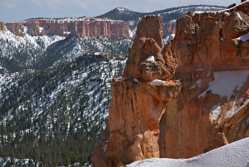 |
Rocks, Bryce Canyon NP, Utah
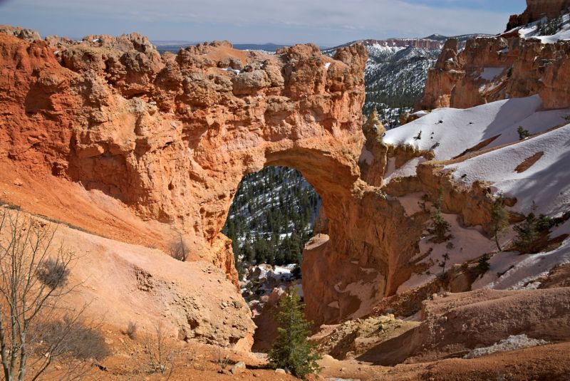 |
Bryce Arch, Bryce Canyon NP, Utah
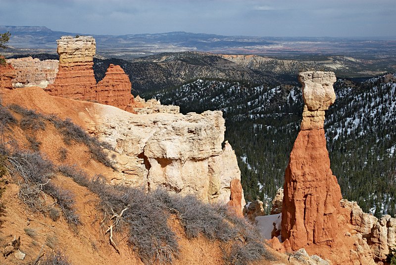 |
The Hunter, Bryce Canyon NP, Utah
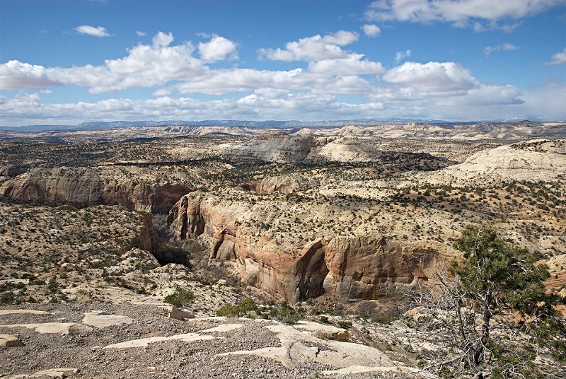 |
Calf Creek Canyon from Hwy 12, Grand Staircase - Escalante NP, Utah
 |
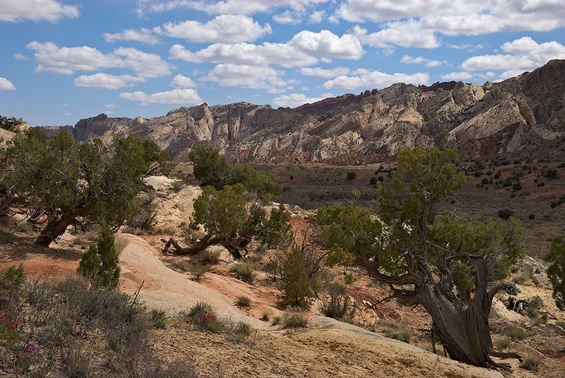
Landscape, Burr Trail, Capitol Reef NP, Utah
 |
Waterpocket Fold, Capitol Reef NP, Utah
 |
Sulfur Creek Canyon, Capitol Reef NP, Utah
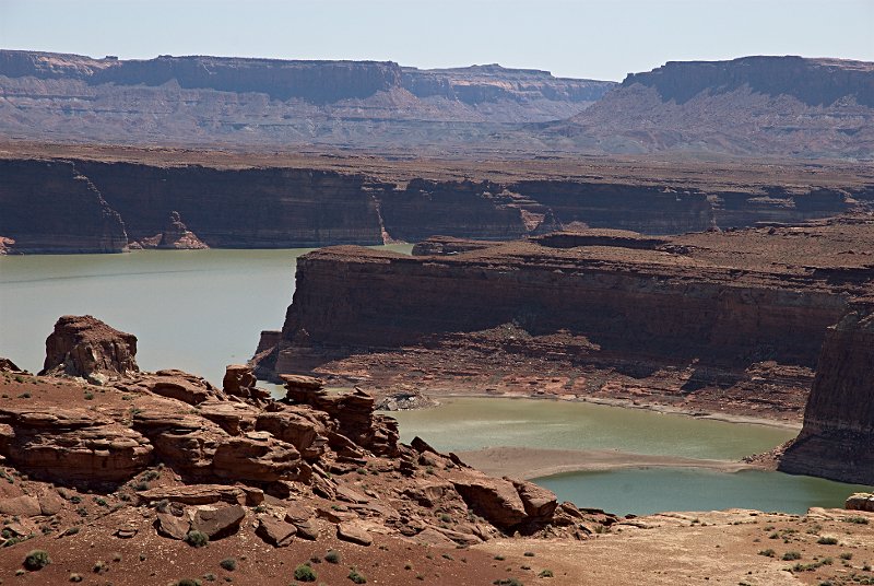 |
Lake Powell from Hwy 95 Turnout, Utah
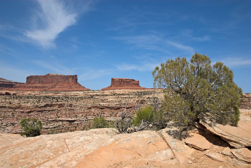 |
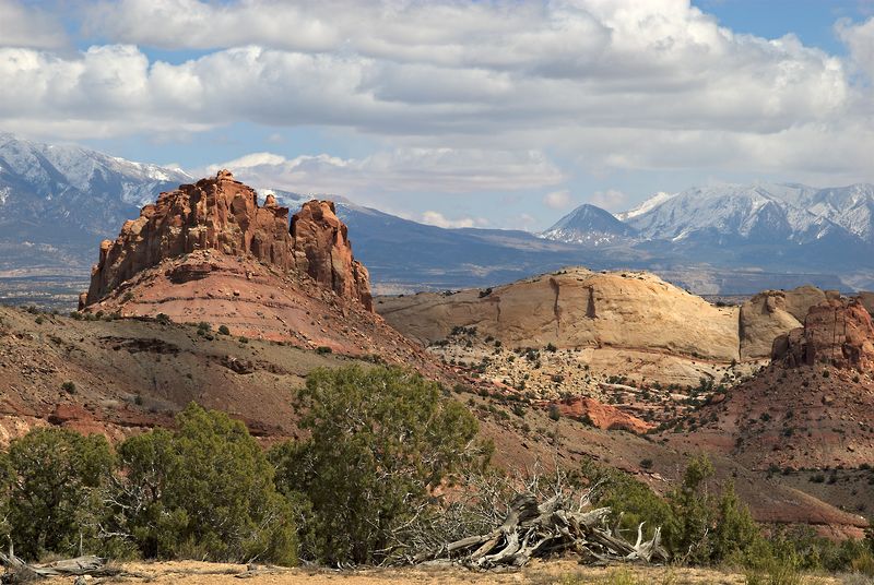
Monitor Butte & Merrimac Butte near Canyonlands NP, Utah
 |
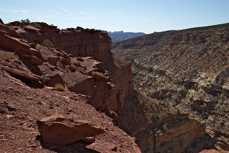
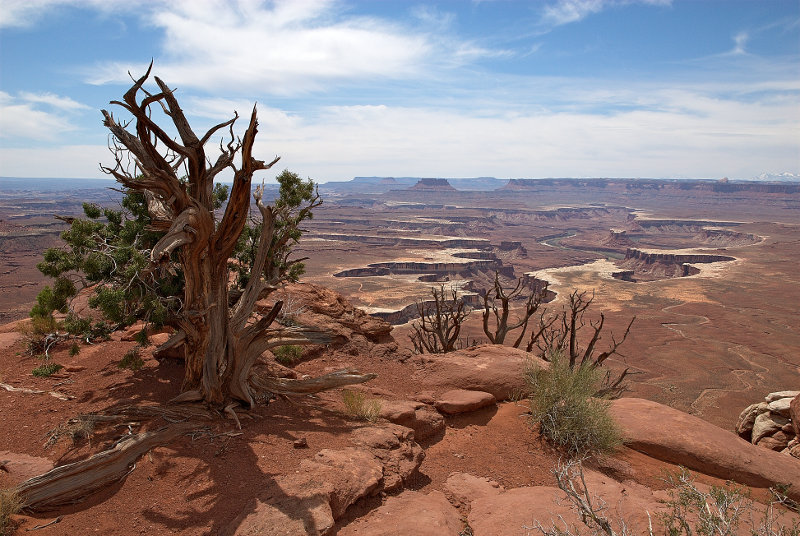
Colorado River from Shafer Trail, Canyonlands NP, Utah
 |
Buck Canyon Overlook, Canyonlands NP, Utah
 |
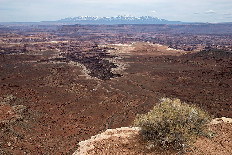
Green River Overlook, Canyonlands NP, Utah
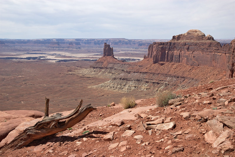 |
Candlestick Tower, Green River Overlook, Canyonlands NP, Utah
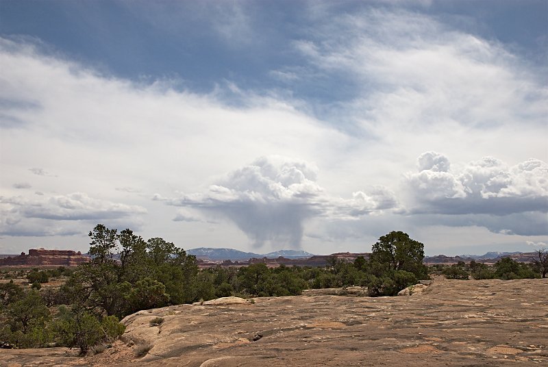 |
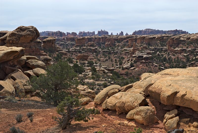
Distant Rain Shower, Pothole Point, Canyonlands NP (Needles District), Utah
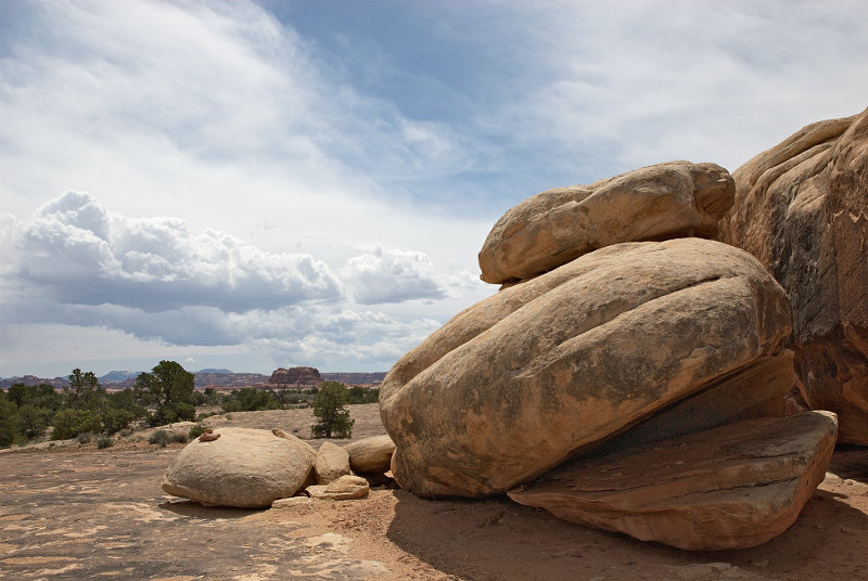 |
Rocks, Pothole Point, Canyonlands NP (Needles District), Utah
 |
Rock Landscape, Pothole Point, Canyonlands NP (Needles District), Utah
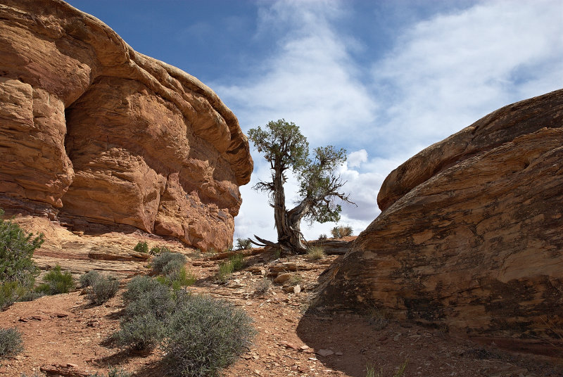 |
Tree and Rocks, Canyonlands NP (Needles District), Utah
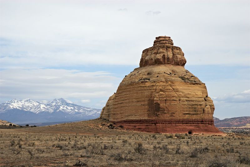 |
Church Rock from Hwy 191, Utah
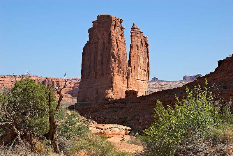 |
The Organ, Arches NP, Utah
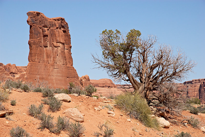 |
Sheeprock, Arches NP, Utah
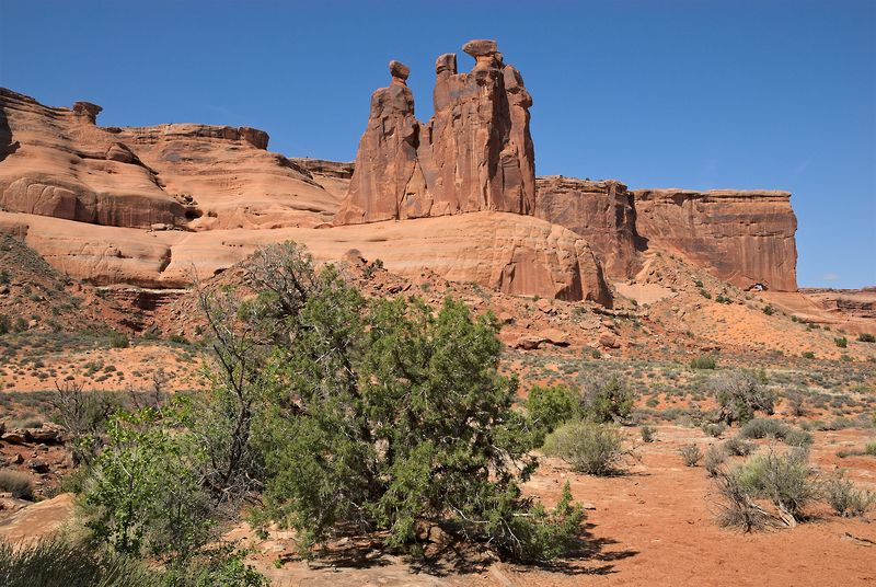 |
The Three Gossips, Arches NP, Utah
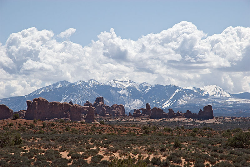 |
La Sal Mountains seen from Arches NP, Utah
On April 19, 10:00 a.m. MDT, I noticed a halo while I drove from Moab to Monticello, Utah. This optical phenomenon looks like a circular rainbow of 22° semidiameter with the sun at its center. It is caused when sunlight is refracted by small hexagonal ice crystals suspended in the upper atmosphere. The halo was visible for approx. 1 hour.
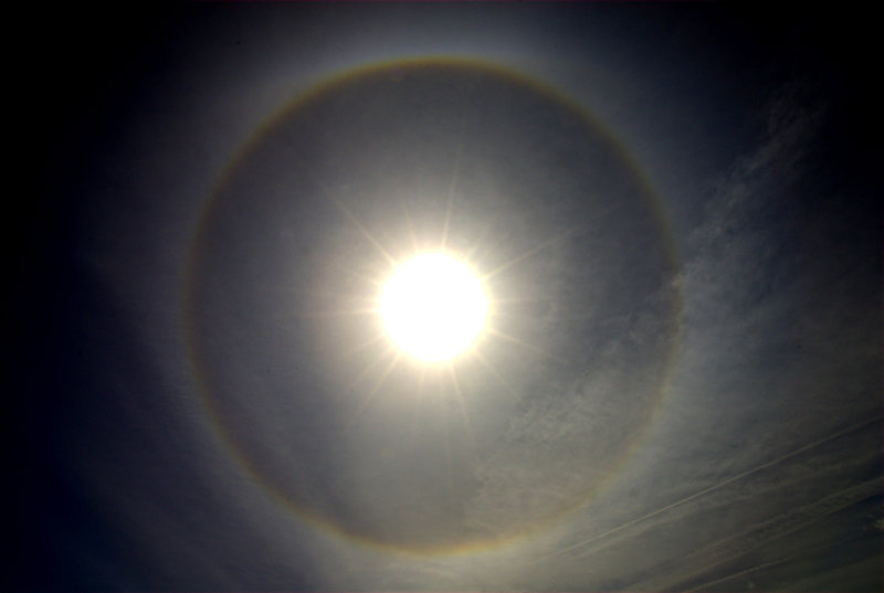 |
22° Halo
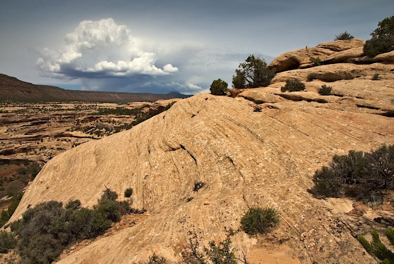 |
Approaching Stormcloud, Natural Bridges NM, Utah
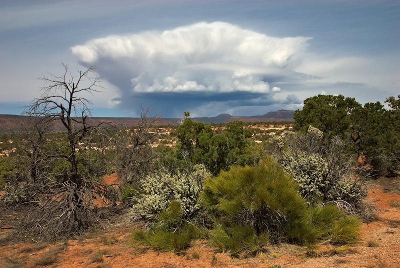 |
This is the same cloud as shown above, but 30 minutes later. Now it displays the typical anvil shape of a thundercloud.
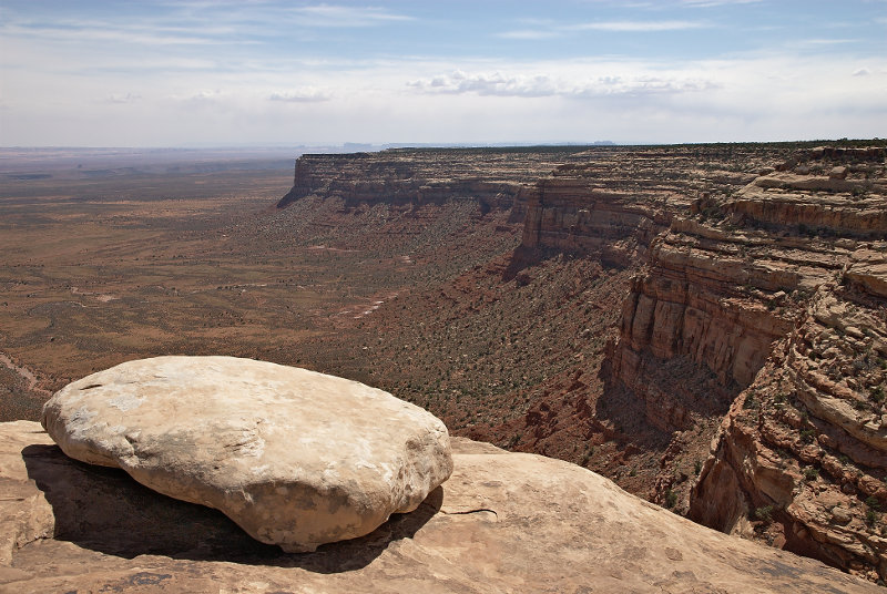 |
View from Highway 261 Turnout, Utah
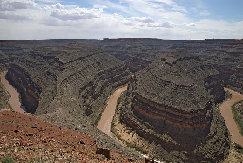 |
Goosenecks of the San Juan River, Goosenecks State Park, Utah
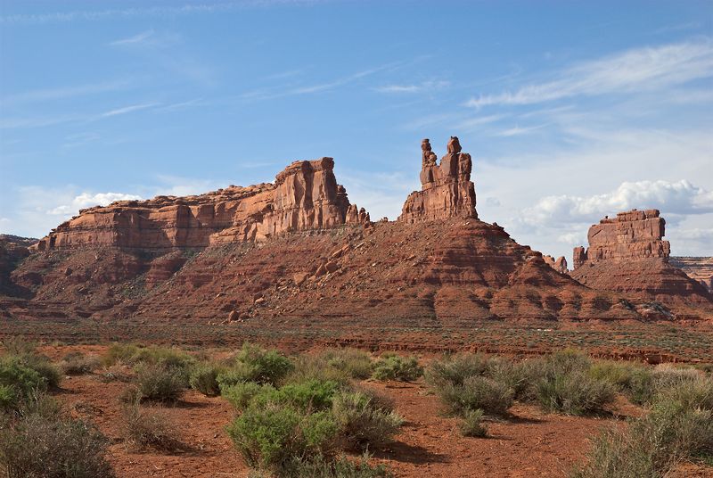 |
Valley of the Gods, Utah
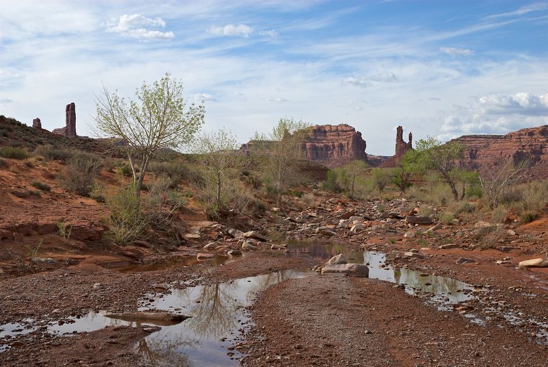 |
Wash, Valley of the Gods, Utah
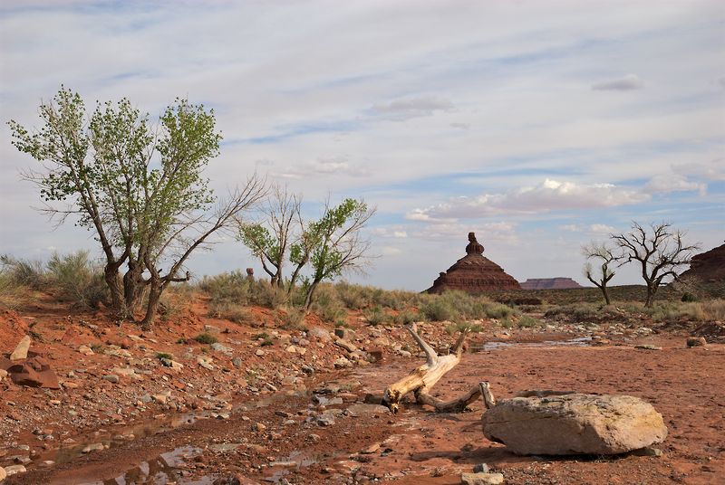 |
Wash, Valley of the Gods, Utah
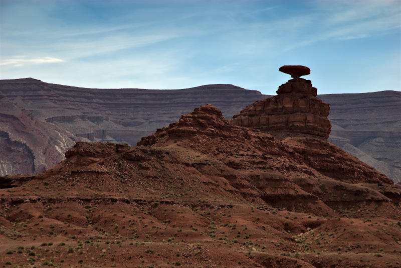 |
Mexican Hat Rock near Mexican Hat (Hwy 163), Utah
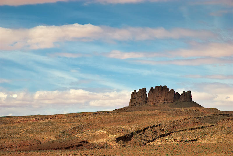 |
Alhambra Rock from Highway 163, Utah
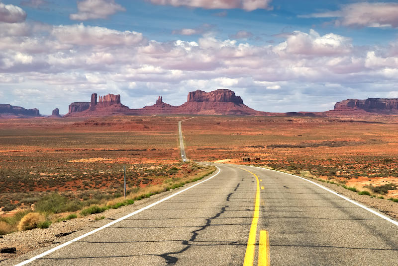 |
Monument Valley from Highway 163, Utah/Arizona
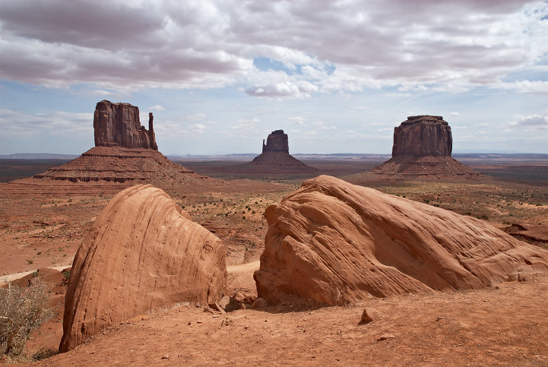 |
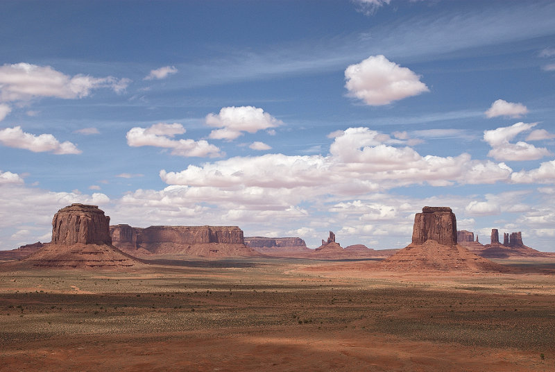
Monument Valley from Visitor Parking Area, Utah/Arizona
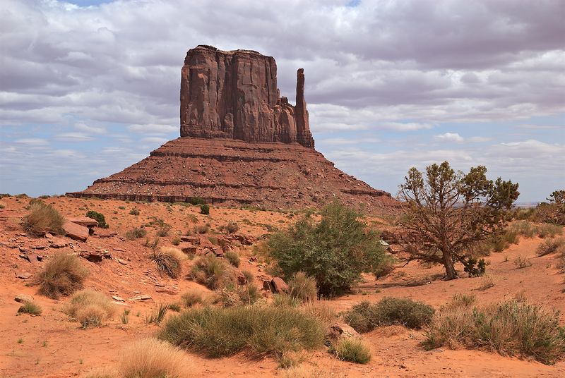 |
East Mitten Butte, Monument Valley, Utah/Arizona
 |
Monument Valley from Artist Point, Utah/Arizona
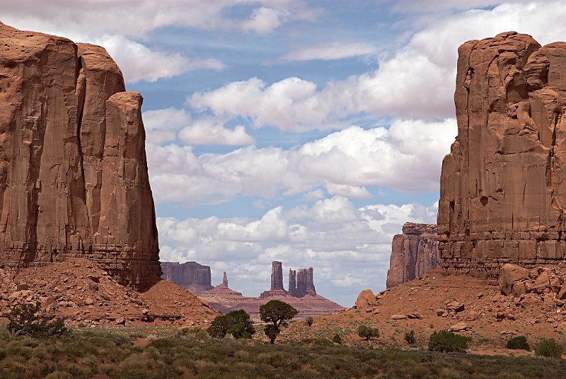 |
The Window, Monument Valley, Utah/Arizona
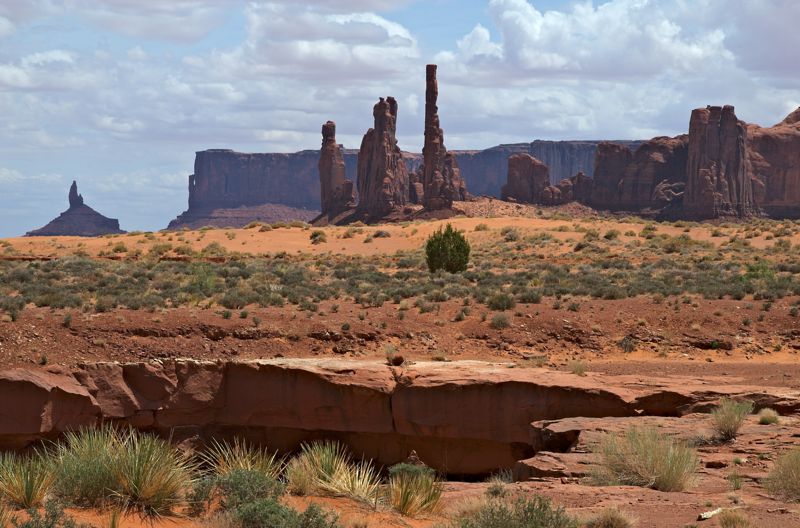 |
Totem Poles, Monument Valley, Utah/Arizona
 |
Skeleton Mesa from Hwy 160, Arizona
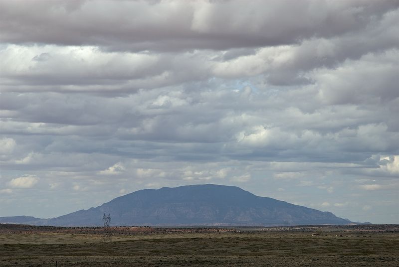 |
Navajo Mountain from Hwy 98, Arizona
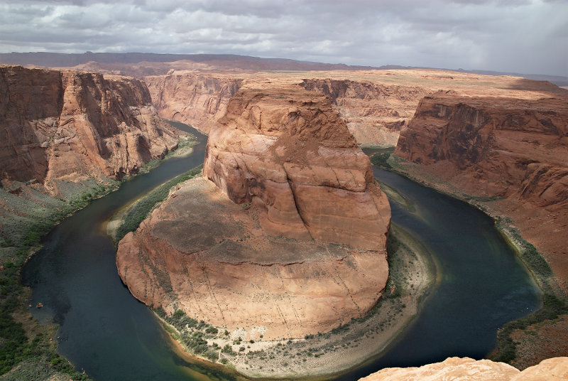 |
Horseshoe Bend (Colorado River), Page, Arizona
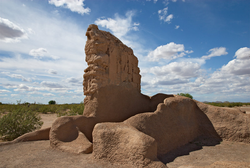 |
Ruin, Casa Grande Ruins National Monument, Arizona